What is a FRA?
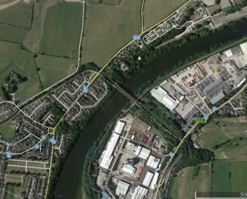
A Flood Risk Assessment, also known as a FRA, is a report that details the main flood risks to a development site. The FRA is frequently needed as part of the planning application for a development. Your planning application may be refused by your local planning authority if you don’t include a flood risk assessment or if the FRA isn’t satisfactory. So it is essential to identify if your development site lies in a flood risk zone early in your planning application preparation.
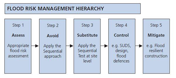
Ideally, a FRA should be completed as part of your pre-planning process, so that architectural designs for the development can include any design changes to your scheme that mitigates flood water, allocates vulnerable users to the correct floor levels, and identifies the safest route in the event of a flood.
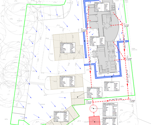
Your FRA should also take the surrounding area into account and whether the development poses a flood risk to areas nearby. At Earth Environmental & Geotechnical we also provide surface water drainage strategy SuDS for sites to ensure that the proposed development does not increase the flood risk to the local environment.
The scope and details of the Flood Risk Assessments will vary depending on the size and topography of the site, and which Flood Zone the site lies within.
The flood zone for a sites are obtained from the Environment Agency and Local Authority Strategic Flood Risk Assessment which are defined as Flood Zone 1 to Flood Zone 3, and the site areas being defined as more or less than 1 hectare.
(Flood Zone 1 is has 1 in 1000 (0.1%) or less annual probability of flooding, Flood Zone 2 has between 1 in 1000 (0.1%) to 1 in 100 (1%) annual probability of flooding, and Flood Zone 3 has more than a 1 in 100 (1%) annual probability of flooding).


