Earthworks Modelling & Geotechnical Design
Earthworks Modelling Service
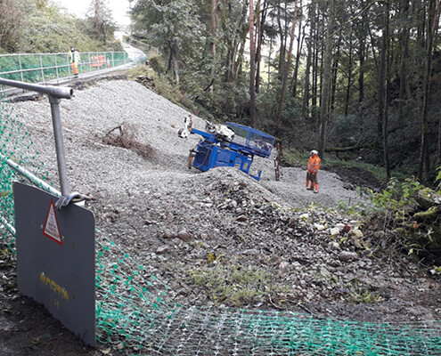
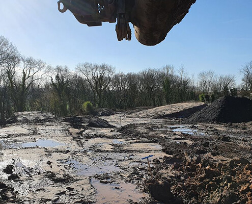
This work requires the modelling of earthworks taking into account the regrading of sites to achieve development plateaus that recognise drainage levels, subsurface structures and any contamination.
Geological information is incorporated into an earthworks model by use of Holebase which generates contoured surfaces that can be imported into AutoCAD 3D. This seamless interface of geological strata elevations is unique as it allows for sophisticated cut/fill modelling generating quantities of different soil materials.
For further information on Earthworks Modelling & Geotechnical Design please contact Earth Environmental & Geotechnical now
Earth Environmental & Geotechnical have acquired another Rocscience software programme, Settle3 is a three-dimensional program for the analysis of consolidation and vertical settlement under foundations, embankments and surface loads.
Settle3 is a three-dimensional programme for the analysis of vertical settlement and consolidation under surface loads, such as foundations, embankments and surface excavations. With Earthworks Modelling & Geotechnical, this software allows you to create complex soil profiles and loading conditions, then view the results in three dimensions. Ground water elevations can also be staged with the ability to specify both horizontal and vertical drainage conditions.
The programme will assist with geotechnical designs for
- Civil Engineers
- Remediation Contractors
- Architects
- Property Developers
- Residential Developments
- Commercial Developments
For planning, designs and build submissions.


