Coal Mining Risk Assessment

Coal Authority Mining Reports, Coal Mining Risk Assessment, modern & historical geological maps residential, commercial & industrial.

The Coal Authority in July 2011 formalised their requirements concerning planning applications (except householder developments) in England, Scotland and Wales and introduced new terminology relating to Coal Mining Development Areas.

Coal Mining Risk Assessment Service

The new terminology includes Coal Mining Development High Risk Areas.

From 2011 the Coal Authority formalised their requirements in relation to planning applications. In England, Scotland and Wales new terminology relating to Coal Mining Development areas was introduced.

If your site is in a Development High Risk Area you will need to submit a Coal Mining Risk Assessment to your Local Planning Authority. Earth Environmental & Geotechnical are competent in completing Coal Mining Risk Assessments with extensive knowledge of commercial, residential and industrial properties.

High Risk Areas are defined as areas, based upon Coal Authority records where land stability and other safety risks are associated with historical coal mining activities. They include areas of known/suspected shallow coal mining, recorded mine/adit entries and areas of former surface extraction.

The Coal Authority is a statutory consultee for any planning application within a High Risk Area.

Earth Environmental & Geotechnical have completed many Coal Mining Risk Assessments for residential, commercial and industrial properties which include an assessment of the Coal Authority Mining Report, a visit to the offices of the Coal Authority to assess mining plans, a review of modern and historical published geological maps and review of technical reports/memoirs.

The British Geological Survey would be contacted to obtain any coal exploration, water well and site investigation borehole information.

Typically, a number of resources will be referred to by the competent person. These may include, but are not limited to, the following:

  • Coal Authority Interactive Map Viewer
  • A Consultants Coal Mining Report from the Coal Authority
  • British Geological Survey 1/10,000 scale mapping showing coal outcrops, faulting and boreholes
  • Applied Geological reports and thematic mapping
  • British Geological Survey Borehole Records
  • British Geological Survey Memoirs
Paypal and credit card logos

Coal Mining Risk Assessment Service

The coalfield is divided into two areas, referred to as Development High Risk Area and Development Low Risk Area:

  • the High Risk Area (15% of the coalfield area) is where coal mining risks are present at shallow depth which are likely to affect new development
  • the Low Risk Area (85% of the coalfield) is where past coal mining activity has taken place at sufficient depth that it poses low risk to new development

If the Coal Mining Risk Assessment identifies a risk to a potential development, a programme of site investigation can be completed in-house by Earth Environmental & Geotechnical Ltd.

The historical legacy of coal mining in the UK affects many development proposals, if you are unsure whether you need a Coal Mining Risk Assessment Earth Environmental & Geotechnical will assess your developments needs and can give you expert advice.

We offer a fixed price of £425 (excluding VAT) for completing your Coal Mining Risk Assessment.

At Earth Environmental & Geotechnical our expert team will quickly prepare your Coal Mining Risk Assessment and because we have extensive experience of working with developers and the Coal Authority, we can provide all the supporting documents your development needs.

The Coal Mining Risk Assessment’s aim is to identify site specific coal mining risks and set out the proposed mitigation strategy to show that the site can be made safe and stable for the development being proposed.

Development High Risk areas are designated when there are hazards that could affect a new development, which include:

  • geological features, such as fissures and break line
  • mine entries with potential zones of influence
  • surface hazards
  • workable coal seam outcrops
  • shallow and probable shallow coal mine workings
  • mine gas
  • surface (opencast) mining

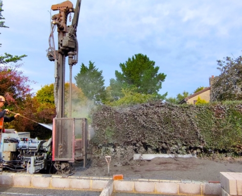
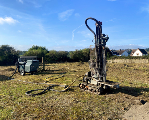
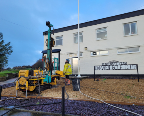
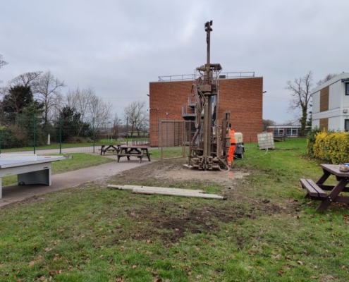
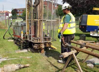
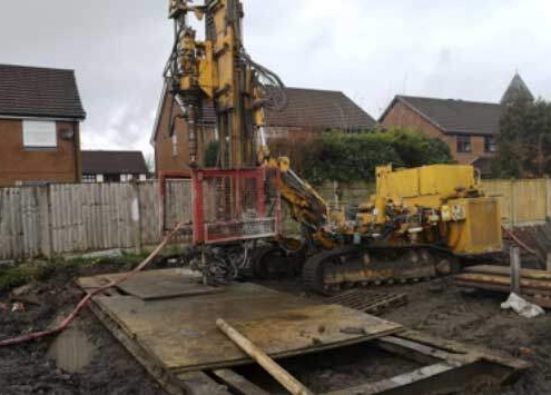
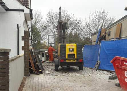
Should any risks to future development be identified in the CMRA, further works will be recommended prior to the development taking place. Typically, this will involve the advancing of Rotary Boreholes to agreed depths across the site to identify the presence of any historic workings and thickness and composition of any anticipated shallow seams.

As a general rule of thumb, a minimum of three boreholes will be required in order to satisfy the Coal Authority.

Where potential shafts are identified, a watching brief, site strip or targeted investigation will likely be recommended. Depending on the findings of the investigation works, further remediation works e.g. drill and grouting of old workings to stabilise the void or shaft, may be required.

Earth Environmental have a number of competent in-house staff who can assist developers at any stage of a project, from coal mining risk assessments and site investigations through to remediation works (e.g. drill and grouting).

Contact Earth Environmental for expert advice on your Coal Mining Risk Assessments.

Example – Coal Mining Risk Assessment.

Example of a COAL MINING RISK ASSESSMENT CMRA

Why are Mining Risk Assessments and Coal Mining Risk Assessments Important?
Why are Mining Risk Assessments Important

Earth Environmental & Geotechnical provide a wide range of Mining Services, click here to contact us for further information.

Example of a Coal Mining Risk Assessment Survey

Earth Environmental & Geotechnical provide a wide range of Mining Services, to view more details on CMRA examples click here

Site investigation on a school in Wigan

Further reading — Coal Mining Risk Assessment

Geotechnical Site Investigation and coal mining risk assessment

Site Investigation and Coal Mining Assessment in Bristol

,
Earth Environmental & Geotechnical (Southern) Ltd were commissioned to undertake a combined coal mining assessment and geo-environmental site investigation for a site in Bristol for a proposed new residential development. The site was located in a development high risk area associated with mine entries and possible shallow depth unrecorded mine workings.

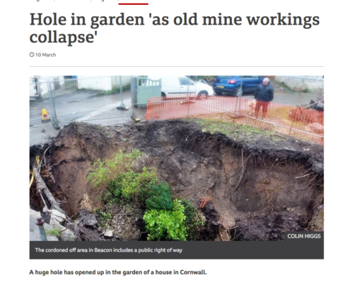
Coal Mine Shaft Collapses: Each Year in the UK an Average of 15 Mine Shafts Collapse.

, ,
Coal Mine Shaft Collapses: Each Year in the UK an Average of 15 Mine Shafts Collapse. Are You Aware of the Risks of Historical Coal Mining and Mining Activity and How It Can Impact Your Existing Site or Proposed Development? A Coal Mining Risk Assessment’s aim is to identify site specific coal mining risks and set out the proposed mitigation strategy to show that the site can be made safe and stable for the development being proposed.
Coal mining risk assessment

What is a Coal mining risk assessment

,
Hello I’m Shauna a Geotechnical Engineer. As a consultant at Earth Environmental and Geotechnical I’m often asked about CMRA’s and what they involve. A CMRA is a Coal Mining Risk Assessment and will be required as part of your planning application if your development is in a high risk area.
How a Coal Mining Risk Assessment can help

Are your plans undermined? How a Coal Mining Risk Assessment can help

,
Are your plans undermined? How a Coal Mining Risk Assessment can help. If you’re buying a property or land for development, particularly for a proposed planning application, you need to know whether it’s affected by coal mining activity, Earth Environmental & Geotechnical has completed many Coal Mining Risk Reports for residential, commercial and industrial properties, and has extensive experience in relating these risk assessments to planning applications.
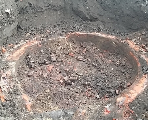
Coal Mine Shaft Investigation & Treatment, Wigan

Coal Mine Shaft Investigation & Treatment, Wigan

,
Coal Mine Shaft Investigation & Treatment, Wigan. As part of a planning application, we developed a Coal Mining Risk Assessment, which highlighted the presence of a suspected abandoned mine shaft on neighbouring land, but close to the development (residential) site boundary.